
Ordnance Survey


")
")


Which of the Ordnance Survey Map Series should I choose?
Ordnance Survey Explorer maps (1:25,000) - The essential map for walkers, cyclists, horse riders and all outdoor enthusiasts. 403 titles covering England, Scotland & Wales.
Ordnance Survey Explorer Active maps (1:25,000) – A laminated, extra durable version of the OS Explorer Map for the more serious outdoor enthusiast who needs a map that will withstand the elements time and time again.
Ordnance Survey Landranger maps (1:50,000) - Ideal for the tourist; this is the OS map for planning day trips, short breaks and road cycling in towns or in the countryside. 204 titles covering England, Scotland & Wales.
Ordnance Survey Landranger Active maps (1:50,000) – A laminated, extra durable version of the OS Landranger map for repeated map use that requires a durable, weatherproof version.
Ordnance Survey Travel maps - Tour (1:100,000) – Covering popular holiday destinations, this series of 8 titles provides an ideal reference to help the tourist get around and make the most from any trip.
Ordnance Survey Road maps (1:250,000) – Covering the England, Scotland,and Wales in 8 maps, this series aims to provide the ideal map for planning journeys
- 10%off RRP
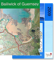
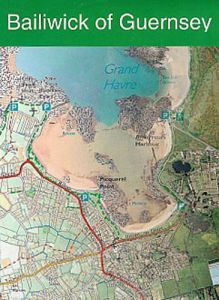 Digimap - Channel Islands Bailiwick Of GuernseyRRP £10.00
Our Price £9.00 Saving £1.00 (10%)Availability:Normally in stock
- 10%off RRP
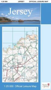 Digimap - Channel Islands Jersey Official Leisure MapRRP £10.00
Our Price £9.00 Saving £1.00 (10%)Availability:Normally in stock
- 30%off RRP
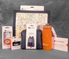
 Map Gift Set Bundle - Navigators Pack + 2 MapsRRP £63.96
Our Price £44.77 Saving £19.19 (30%)Availability:Normally in stock
Out of stock - 30%off RRP
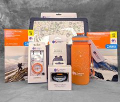
 Map Gift Set Bundle - OS Digital Explorers PackRRP £152.45
Our Price £106.71 Saving £45.74 (30%)Availability:Normally in stock
- 30%off RRP
 Map Gift Set Bundle - OS Explorers Pack + 2 MapsRRP £130.45
Our Price £91.31 Saving £39.14 (30%)Availability:Normally in stock
-
- 30%off RRP
Map Gift Set Bundle - OS Puzzle CollectionRRP £64.92
Our Price £45.44 Saving £19.48 (30%)Availability:Normally in stock
- 30%off RRP
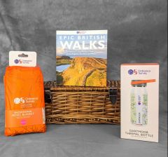
Map Gift Set Bundle - ST&G Map FanaticsRRP £44.97
Our Price £31.48 Saving £13.49 (30%)Availability:Normally in stock
- 20%off RRP
- 30%off RRP
- 20%off RRP
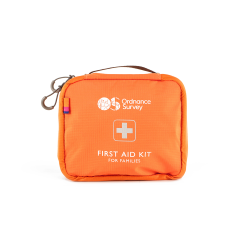 Ordnance Survey - First Aid Kit For FamiliesRRP £29.99
Our Price £23.99 Saving £6.00 (20%)4 in stock
- 20%off RRP
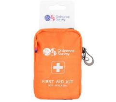 Ordnance Survey - First Aid Kit Walkers - OrangeRRP £17.99
Our Price £14.39 Saving £3.60 (20%)5 in stock